Vale of Mowbray landscape
Introduction
The photograph on this page of Vale of Mowbray landscape by Gordon Hatton as part of the Geograph project.
The Geograph project started in 2005 with the aim of publishing, organising and preserving representative images for every square kilometre of Great Britain, Ireland and the Isle of Man.

There are currently over 7.5m images from over 14,400 individuals and you can help contribute to the project by visiting https://www.geograph.org.uk
Vale of Mowbray landscape
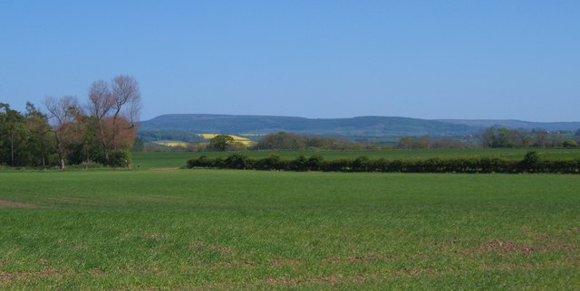
Image: © Gordon Hatton Taken: 30 Apr 2011
A grid square containing three farms and plenty of rich farmland, but little else. Looking east towards the distinctive flat top of Black Hambleton.
Images are licensed for reuse under creativecommons.org/licenses/by-sa/2.0
Image Location
Latitude
54.384315
Longitude
-1.425796