Hoford Rd (North End)
Introduction
The photograph on this page of Hoford Rd (North End) by Glyn Baker as part of the Geograph project.
The Geograph project started in 2005 with the aim of publishing, organising and preserving representative images for every square kilometre of Great Britain, Ireland and the Isle of Man.

There are currently over 7.5m images from over 14,400 individuals and you can help contribute to the project by visiting https://www.geograph.org.uk
Hoford Rd (North End)
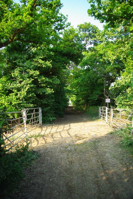
Image: © Glyn Baker Taken: 30 Apr 2011
Hoford is closed to motor traffic but is a public right of way. See the road further south end at Image
Images are licensed for reuse under creativecommons.org/licenses/by-sa/2.0
Image Location
Latitude
51.497384
Longitude
0.402007