Jack's Loch
Introduction
The photograph on this page of Jack's Loch by Andy Farrington as part of the Geograph project.
The Geograph project started in 2005 with the aim of publishing, organising and preserving representative images for every square kilometre of Great Britain, Ireland and the Isle of Man.

There are currently over 7.5m images from over 14,400 individuals and you can help contribute to the project by visiting https://www.geograph.org.uk
Jack's Loch
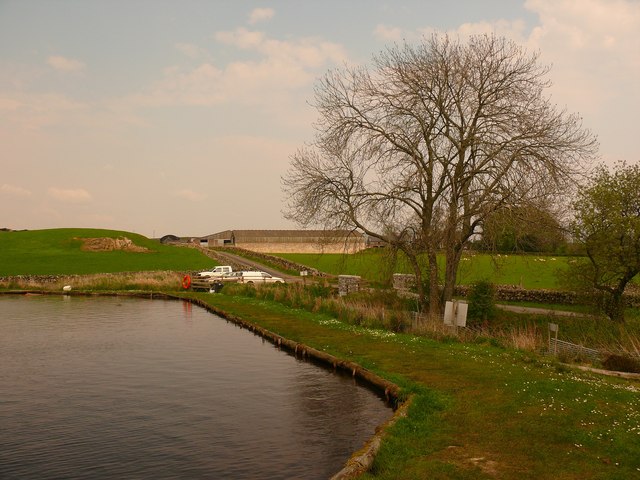
Image: © Andy Farrington Taken: 29 Apr 2011
This man made loch near to Mains of Penninghame appears on OS Mapping unnamed but is known locally by users as Jack's Loch after the man who built it. It was being stocked with trout the day I visited and is regularly topped up to ensure users get a fair days sport. Fly fishing is the style of choice. Centre of picture on the horizon is Mains of Penninghame Farm.
Images are licensed for reuse under creativecommons.org/licenses/by-sa/2.0
Image Location


Leaflet Map data © OpenStreetMap
Latitude
54.916353
Longitude
-4.489805