Aspen Park Road Locking Castle
Introduction
The photograph on this page of Aspen Park Road Locking Castle by Ant Basterfield as part of the Geograph project.
The Geograph project started in 2005 with the aim of publishing, organising and preserving representative images for every square kilometre of Great Britain, Ireland and the Isle of Man.

There are currently over 7.5m images from over 14,400 individuals and you can help contribute to the project by visiting https://www.geograph.org.uk
Aspen Park Road Locking Castle
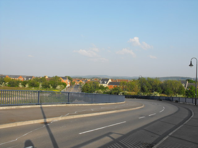
Image: © Ant Basterfield Taken: 30 Apr 2011
Here in this picture shows the ever urban ongoing sprawl of new housing development of Locking Castle, though at least from this vantage point we can see the Mendip hills in the distance.
Images are licensed for reuse under creativecommons.org/licenses/by-sa/2.0
Image Location
Latitude
51.350279
Longitude
-2.923971