Glendinning Place
Introduction
The photograph on this page of Glendinning Place by Kenneth Mallard as part of the Geograph project.
The Geograph project started in 2005 with the aim of publishing, organising and preserving representative images for every square kilometre of Great Britain, Ireland and the Isle of Man.

There are currently over 7.5m images from over 14,400 individuals and you can help contribute to the project by visiting https://www.geograph.org.uk
Glendinning Place
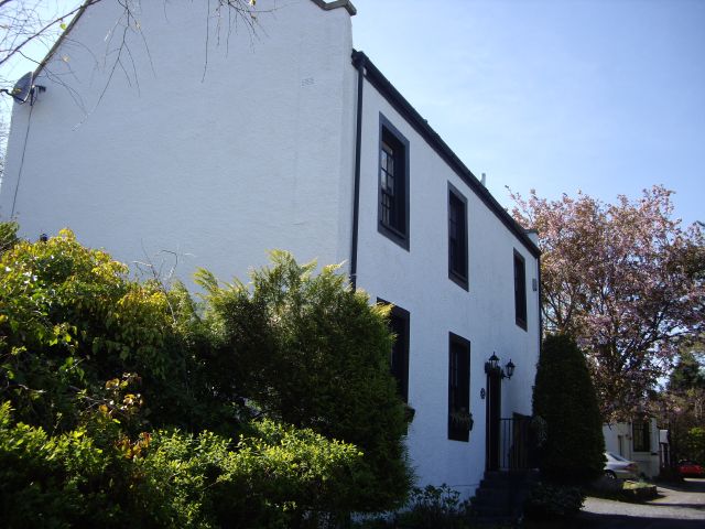
Image: © Kenneth Mallard Taken: 30 Apr 2011
The Secession Church broke away from the established church in 1733 and established a church of the Burgher Faction, the Cameronian Church in Glendinning Place. Sometime after the church closed, the meeting house became the Old Concert Hall for a time before being converted to a private residence. Click on these links to discover about the churches and Covenanters http://www.geograph.org.uk/photo/1424798 http://www.geograph.org.uk/photo/1897780 http://www.geograph.org.uk/photo/1432415 .
Images are licensed for reuse under creativecommons.org/licenses/by-sa/2.0
Image Location
Latitude
55.740748
Longitude
-4.279186