Path along western edge of Cwmfelinfach
Introduction
The photograph on this page of Path along western edge of Cwmfelinfach by Jaggery as part of the Geograph project.
The Geograph project started in 2005 with the aim of publishing, organising and preserving representative images for every square kilometre of Great Britain, Ireland and the Isle of Man.

There are currently over 7.5m images from over 14,400 individuals and you can help contribute to the project by visiting https://www.geograph.org.uk
Path along western edge of Cwmfelinfach
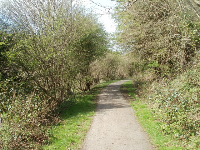
Image: © Jaggery Taken: 7 Apr 2011
The path heads towards Ynysddu through the Sirhowy valley. Its course is at a slightly lower elevation than the central residential area of Cwmfelinfach.
Images are licensed for reuse under creativecommons.org/licenses/by-sa/2.0
Image Location
Latitude
51.619071
Longitude
-3.181476