Western Terrace,Cwmfelinfach
Introduction
The photograph on this page of Western Terrace,Cwmfelinfach by Jaggery as part of the Geograph project.
The Geograph project started in 2005 with the aim of publishing, organising and preserving representative images for every square kilometre of Great Britain, Ireland and the Isle of Man.

There are currently over 7.5m images from over 14,400 individuals and you can help contribute to the project by visiting https://www.geograph.org.uk
Western Terrace,Cwmfelinfach
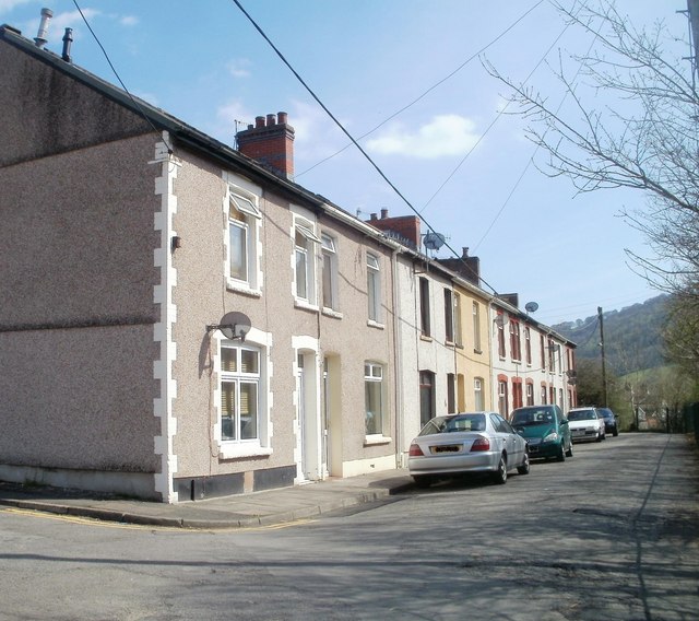
Image: © Jaggery Taken: 7 Apr 2011
A row of 9 houses on the SW side of the B4251, the main road through the village of Cwmfelinfach in the Sirhowy valley.
Images are licensed for reuse under creativecommons.org/licenses/by-sa/2.0
Image Location
Latitude
51.618172
Longitude
-3.181453