Orchard Place (2), Faversham
Introduction
The photograph on this page of Orchard Place (2), Faversham by David Anstiss as part of the Geograph project.
The Geograph project started in 2005 with the aim of publishing, organising and preserving representative images for every square kilometre of Great Britain, Ireland and the Isle of Man.

There are currently over 7.5m images from over 14,400 individuals and you can help contribute to the project by visiting https://www.geograph.org.uk
Orchard Place (2), Faversham
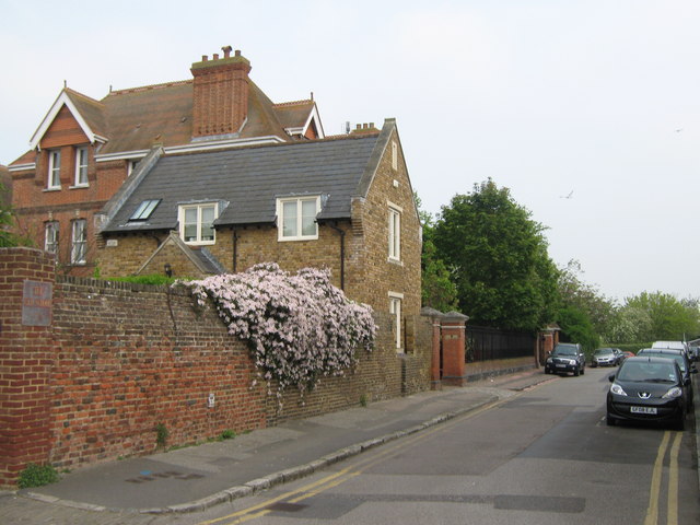
Image: © David Anstiss Taken: 29 Apr 2011
This road leads from East Street towards St.Mary of Charity Primary School (behind trees on the left) and then back to East Street. It passes the Old School, the large red brick building on the left. A former William Gibbs School. Part of the grounds of the Old School has 4 cottages (yellow brick building) built around the school. See http://www.britishlistedbuildings.co.uk/en-438703-former-william-gibbs-school-faversham for more details about the Old School
Images are licensed for reuse under creativecommons.org/licenses/by-sa/2.0
Image Location
Latitude
51.315271
Longitude
0.894785