Lodmore Lane
Introduction
The photograph on this page of Lodmore Lane by Espresso Addict as part of the Geograph project.
The Geograph project started in 2005 with the aim of publishing, organising and preserving representative images for every square kilometre of Great Britain, Ireland and the Isle of Man.

There are currently over 7.5m images from over 14,400 individuals and you can help contribute to the project by visiting https://www.geograph.org.uk
Lodmore Lane
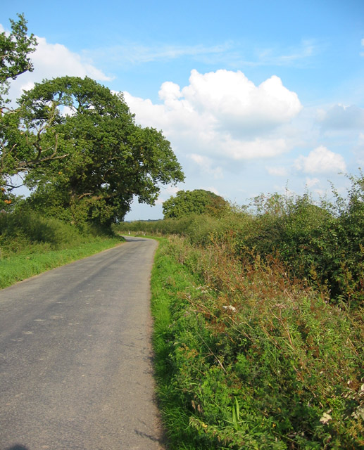
Image: © Espresso Addict Taken: 12 Sep 2006
Lodmore Lane is a relatively broad single-track lane running south from the A525 near Burleydam to Ightfield. Most of its length has thick hedgerows with wide verges, and the road margins support an unusually wide variety of wild flowers for this intensively farmed area
Images are licensed for reuse under creativecommons.org/licenses/by-sa/2.0
Image Location
Latitude
52.948712
Longitude
-2.590807