Caterham: Harestone Valley Road
Introduction
The photograph on this page of Caterham: Harestone Valley Road by Dr Neil Clifton as part of the Geograph project.
The Geograph project started in 2005 with the aim of publishing, organising and preserving representative images for every square kilometre of Great Britain, Ireland and the Isle of Man.

There are currently over 7.5m images from over 14,400 individuals and you can help contribute to the project by visiting https://www.geograph.org.uk
Caterham: Harestone Valley Road
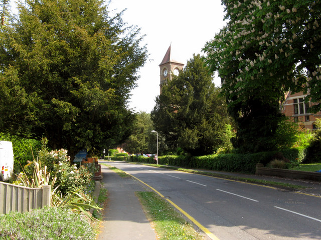
Image: © Dr Neil Clifton Taken: 28 Apr 2011
As you walk north east along Harestone Valley Road, the tall clock-tower of the United Reformed Church soon comes into view.
Images are licensed for reuse under creativecommons.org/licenses/by-sa/2.0
Image Location


Leaflet Map data © OpenStreetMap
Latitude
51.279836
Longitude
-0.080411