Boundary between Cheshire and Shropshire
Introduction
The photograph on this page of Boundary between Cheshire and Shropshire by Espresso Addict as part of the Geograph project.
The Geograph project started in 2005 with the aim of publishing, organising and preserving representative images for every square kilometre of Great Britain, Ireland and the Isle of Man.

There are currently over 7.5m images from over 14,400 individuals and you can help contribute to the project by visiting https://www.geograph.org.uk
Boundary between Cheshire and Shropshire
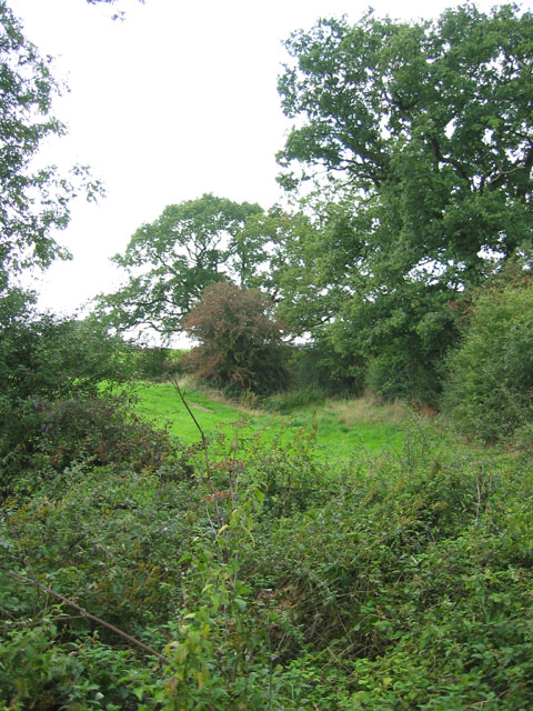
Image: © Espresso Addict Taken: 12 Sep 2006
The county boundary here runs along a small brook, a tributary of Dodcott Brook (hidden in trees on right). View from Lodmore Lane
Images are licensed for reuse under creativecommons.org/licenses/by-sa/2.0
Image Location


Leaflet Map data © OpenStreetMap
Latitude
52.955939
Longitude
-2.583463