Dalnavert
Introduction
The photograph on this page of Dalnavert by Richard Webb as part of the Geograph project.
The Geograph project started in 2005 with the aim of publishing, organising and preserving representative images for every square kilometre of Great Britain, Ireland and the Isle of Man.

There are currently over 7.5m images from over 14,400 individuals and you can help contribute to the project by visiting https://www.geograph.org.uk
Dalnavert
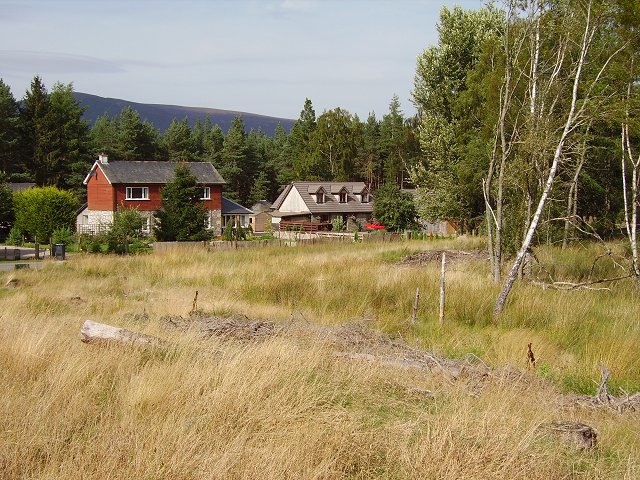
Image: © Richard Webb Taken: 10 Sep 2006
Forestry settlement. One of these may be the Gamekeeper's Cottage on the OS map. There have been a lot of new houses built over recent years along the Feshiebridge road.
Images are licensed for reuse under creativecommons.org/licenses/by-sa/2.0
Image Location
Latitude
57.130725
Longitude
-3.884935