Carlingford Lough from Rostrevor Road
Introduction
The photograph on this page of Carlingford Lough from Rostrevor Road by Eric Jones as part of the Geograph project.
The Geograph project started in 2005 with the aim of publishing, organising and preserving representative images for every square kilometre of Great Britain, Ireland and the Isle of Man.

There are currently over 7.5m images from over 14,400 individuals and you can help contribute to the project by visiting https://www.geograph.org.uk
Carlingford Lough from Rostrevor Road
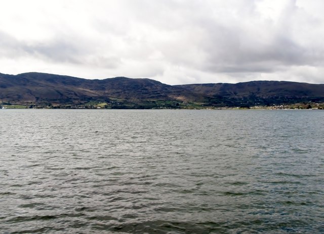
Image: © Eric Jones Taken: 2 Apr 2011
Rostrevor Road (A2) which links Rostrevor and Warrenpoint provides an excellent view of the Carlingford Lough fiord and of the Republic's Cooley Mountains.
Images are licensed for reuse under creativecommons.org/licenses/by-sa/2.0
Image Location
Latitude
54.098195
Longitude
-6.222858