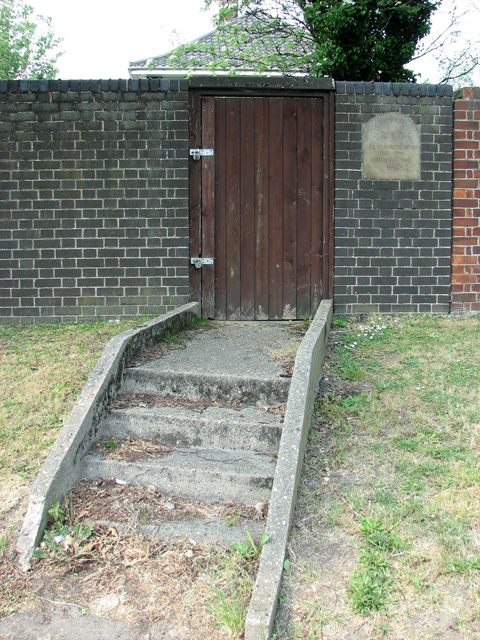
Entrance to the Hebrew Cemetery in Talbot Square, Norwich
Introduction
The photograph on this page of Entrance to the Hebrew Cemetery in Talbot Square, Norwich by Evelyn Simak as part of the Geograph project.
The Geograph project started in 2005 with the aim of publishing, organising and preserving representative images for every square kilometre of Great Britain, Ireland and the Isle of Man.
There are currently over 7.5m images from over 14,400 individuals and you can help contribute to the project by visiting https://www.geograph.org.uk

Image: © Evelyn Simak Taken: 28 Apr 2011
Two (locked) padlocks secure the entrance door. The Hebrew Congregation Cemetery in Talbot Square is the earliest surviving Jewish cemetery in Norwich. In 1813 (perhaps influenced by the example of the Quakers who had successfully established their own burial ground > http://www.geograph.org.uk/photo/2382286 in the nearby Gildencroft in 1670) Norwich's small Hebrew Congregation leased a small plot of land in the Gildencroft for use as a cemetery. In the absence of a track to the plot that would have been wide enough for a cart or hearse, coffins had to be carried on the shoulders of pall-bearers. The path, known as Quakers Lane > http://www.geograph.org.uk/photo/2382343 because it leads to the Friends Meeting House and burial ground, was later widened. Internments in the plot ceased in 1854 when the new Burial Act forbade burials in churchyards and cemeteries located within the City's walls. It is believed that there are about thirty graves in this cemetery which over time has become very much overgrown, so much so that only the tops of a couple of gravestones can be seen in the bramble and nettle thicket.

