Tremenheere Road, Penzance from the air
Introduction
The photograph on this page of Tremenheere Road, Penzance from the air by Joff Day as part of the Geograph project.
The Geograph project started in 2005 with the aim of publishing, organising and preserving representative images for every square kilometre of Great Britain, Ireland and the Isle of Man.

There are currently over 7.5m images from over 14,400 individuals and you can help contribute to the project by visiting https://www.geograph.org.uk
Tremenheere Road, Penzance from the air
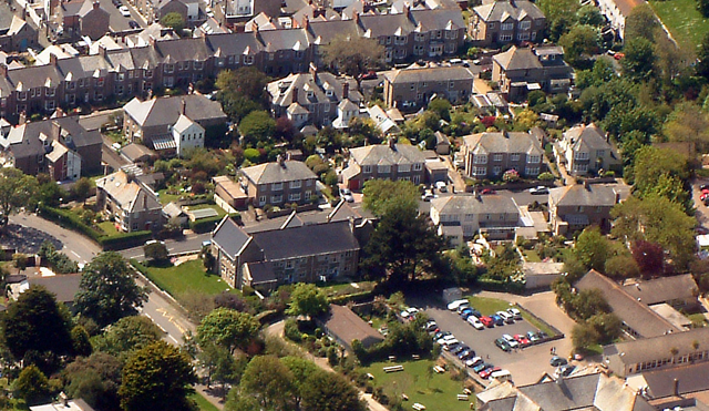
Image: © Joff Day Taken: 21 May 2003
A clear view on a trial flying lesson from Lands End.
Images are licensed for reuse under creativecommons.org/licenses/by-sa/2.0
Image Location
Latitude
50.123226
Longitude
-5.540908