B2026 at Fairwarp, Sussex
Introduction
The photograph on this page of B2026 at Fairwarp, Sussex by Peter Trimming as part of the Geograph project.
The Geograph project started in 2005 with the aim of publishing, organising and preserving representative images for every square kilometre of Great Britain, Ireland and the Isle of Man.

There are currently over 7.5m images from over 14,400 individuals and you can help contribute to the project by visiting https://www.geograph.org.uk
B2026 at Fairwarp, Sussex
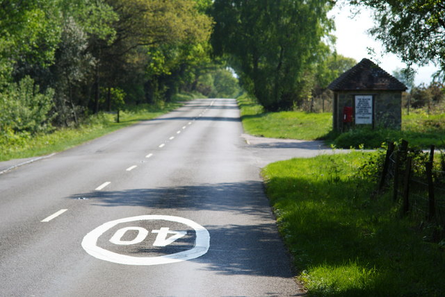
Image: © Peter Trimming Taken: 26 Apr 2011
In the foreground, the 40 MPH Ashdown Forest speed limit is marked on the road. To the right of picture, a bus shelter can be seen.
Images are licensed for reuse under creativecommons.org/licenses/by-sa/2.0
Image Location


Leaflet Map data © OpenStreetMap
Latitude
51.027363
Longitude
0.089541