Rednal Airfield Control Tower
Introduction
The photograph on this page of Rednal Airfield Control Tower by John Harding as part of the Geograph project.
The Geograph project started in 2005 with the aim of publishing, organising and preserving representative images for every square kilometre of Great Britain, Ireland and the Isle of Man.

There are currently over 7.5m images from over 14,400 individuals and you can help contribute to the project by visiting https://www.geograph.org.uk
Rednal Airfield Control Tower
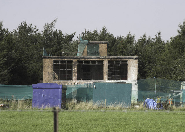
Image: © John Harding Taken: 10 Sep 2006
Now used for paintball activities.
Images are licensed for reuse under creativecommons.org/licenses/by-sa/2.0
Image Location


Leaflet Map data © OpenStreetMap
Latitude
52.843095
Longitude
-2.938276