Small Burn at Whitegate
Introduction
The photograph on this page of Small Burn at Whitegate by Anne Burgess as part of the Geograph project.
The Geograph project started in 2005 with the aim of publishing, organising and preserving representative images for every square kilometre of Great Britain, Ireland and the Isle of Man.

There are currently over 7.5m images from over 14,400 individuals and you can help contribute to the project by visiting https://www.geograph.org.uk
Small Burn at Whitegate
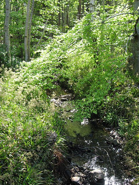
Image: © Anne Burgess Taken: 27 Apr 2011
The burn is named on the 1:25,000 map as Small Burn, and the name seems appropriate. It drains the glen through which the Winding Walks go, and after crossing under the road near Whitegate it joins the Wishart Burn near Gordon Castle Farm. It is almost hidden by new beech foliage.
Images are licensed for reuse under creativecommons.org/licenses/by-sa/2.0
Image Location
Latitude
57.61369
Longitude
-3.076901