Oldhams Hollow Barn
Introduction
The photograph on this page of Oldhams Hollow Barn by Peter Turner as part of the Geograph project.
The Geograph project started in 2005 with the aim of publishing, organising and preserving representative images for every square kilometre of Great Britain, Ireland and the Isle of Man.

There are currently over 7.5m images from over 14,400 individuals and you can help contribute to the project by visiting https://www.geograph.org.uk
Oldhams Hollow Barn
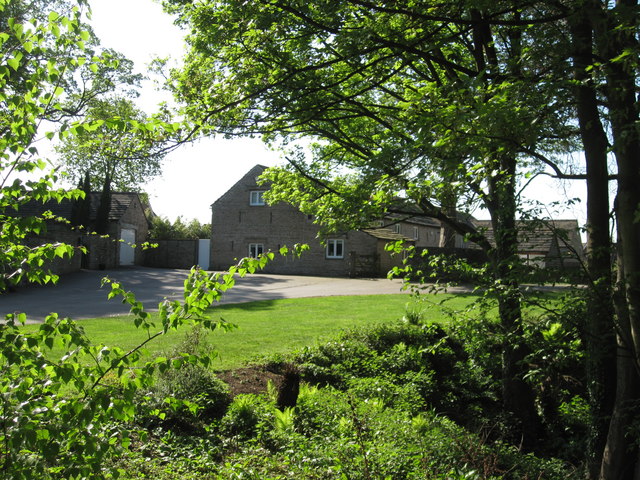
Image: © Peter Turner Taken: 27 Apr 2011
A fairly recent conversion and gentrification of original stone built farm buildings adjacent to the original farmhouse probably from the late 1600s or so. It is with difficulty that I restrain myself from silly comments about the name.
Images are licensed for reuse under creativecommons.org/licenses/by-sa/2.0
Image Location
Latitude
53.27794
Longitude
-2.128633