Eastern boundary of Wattsville
Introduction
The photograph on this page of Eastern boundary of Wattsville by Jaggery as part of the Geograph project.
The Geograph project started in 2005 with the aim of publishing, organising and preserving representative images for every square kilometre of Great Britain, Ireland and the Isle of Man.

There are currently over 7.5m images from over 14,400 individuals and you can help contribute to the project by visiting https://www.geograph.org.uk
Eastern boundary of Wattsville
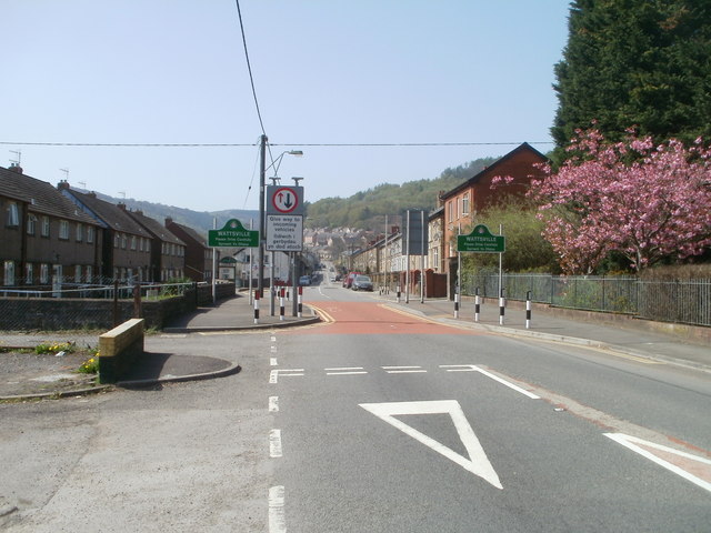
Image: © Jaggery Taken: 10 Apr 2011
Islwyn Road, from Crosskeys, approaches Wattsville, a small village in the Sirhowy valley. The village was built in the late nineteenth century to provide housing for workers in the collieries in the area. One of the collieries was the New Risca mine, formerly located nearby, where an explosion in 1880 caused 120 deaths.
Images are licensed for reuse under creativecommons.org/licenses/by-sa/2.0
Image Location
Latitude
51.615847
Longitude
-3.143839