Mollinsburn, suds ponds
Introduction
The photograph on this page of Mollinsburn, suds ponds by Robert Murray as part of the Geograph project.
The Geograph project started in 2005 with the aim of publishing, organising and preserving representative images for every square kilometre of Great Britain, Ireland and the Isle of Man.

There are currently over 7.5m images from over 14,400 individuals and you can help contribute to the project by visiting https://www.geograph.org.uk
Mollinsburn, suds ponds
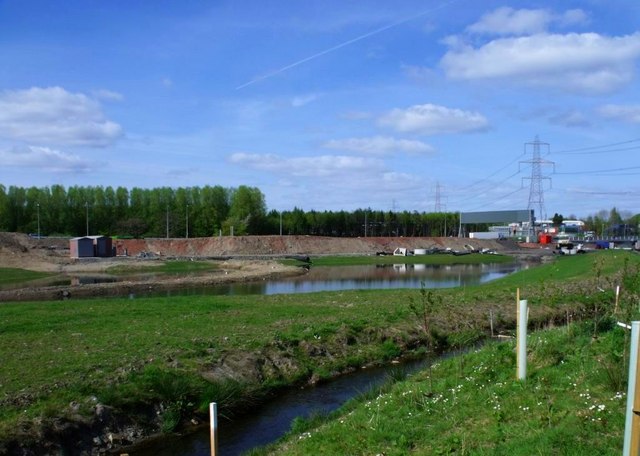
Image: © Robert Murray Taken: 25 Apr 2011
Newly created to take the surface water from the new M80 before discharging it into Luggie Water. The new Mollins Burn deviation is in the foreground.
Images are licensed for reuse under creativecommons.org/licenses/by-sa/2.0
Image Location
Latitude
55.923276
Longitude
-4.049642