Addislade
Introduction
The photograph on this page of Addislade by Derek Harper as part of the Geograph project.
The Geograph project started in 2005 with the aim of publishing, organising and preserving representative images for every square kilometre of Great Britain, Ireland and the Isle of Man.

There are currently over 7.5m images from over 14,400 individuals and you can help contribute to the project by visiting https://www.geograph.org.uk
Addislade
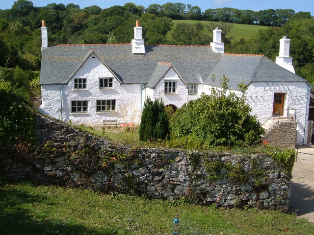
Image: © Derek Harper Taken: 9 Sep 2006
This C17 farmhouse http://www.britishlistedbuildings.co.uk/en-99254-addislade-dean-prior-devon#.Vj8r1l7ztuQ has a scantle roof, a rare survival, and this has just been completely restored by the owner with grant help from English Heritage. Opened to the public on Heritage Open Day 2006. (http://www.addislade.deanprior.com - the site included a detailed survey of the building but is unfortunately no longer available. http://www.theguardian.com/artanddesign/2015/apr/07/david-norrish-obituary includes some detail of the restoration).
Images are licensed for reuse under creativecommons.org/licenses/by-sa/2.0
Image Location
Latitude
50.462173
Longitude
-3.811083