Lower Lodge Farm Park
Introduction
The photograph on this page of Lower Lodge Farm Park by Glyn Baker as part of the Geograph project.
The Geograph project started in 2005 with the aim of publishing, organising and preserving representative images for every square kilometre of Great Britain, Ireland and the Isle of Man.

There are currently over 7.5m images from over 14,400 individuals and you can help contribute to the project by visiting https://www.geograph.org.uk
Lower Lodge Farm Park
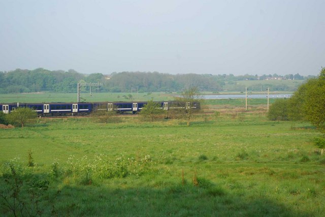
Image: © Glyn Baker Taken: 24 Apr 2011
This is part of the Wivenhoe Wood complex of open space managed by Colchester Council http://www.wivenhoe.gov.uk/About_Wivenhoe/wivenhoe_wood.htm
Images are licensed for reuse under creativecommons.org/licenses/by-sa/2.0
Image Location
Latitude
51.866829
Longitude
0.94708