Cadoxton Community Centre
Introduction
The photograph on this page of Cadoxton Community Centre by Jaggery as part of the Geograph project.
The Geograph project started in 2005 with the aim of publishing, organising and preserving representative images for every square kilometre of Great Britain, Ireland and the Isle of Man.

There are currently over 7.5m images from over 14,400 individuals and you can help contribute to the project by visiting https://www.geograph.org.uk
Cadoxton Community Centre
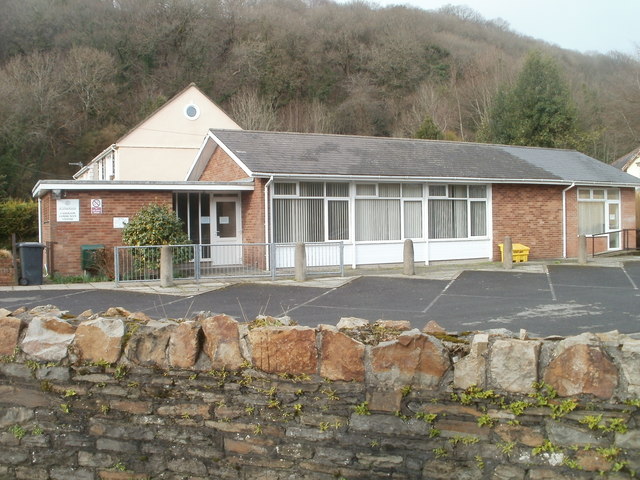
Image: © Jaggery Taken: 19 Feb 2011
Located on the corner of Church Road and Cwmbach Road, behind the War Memorial. http://www.geograph.org.uk/photo/2378472
Images are licensed for reuse under creativecommons.org/licenses/by-sa/2.0
Image Location
Latitude
51.672334
Longitude
-3.801831