Salfords Guide Hall
Introduction
The photograph on this page of Salfords Guide Hall by Stephen Craven as part of the Geograph project.
The Geograph project started in 2005 with the aim of publishing, organising and preserving representative images for every square kilometre of Great Britain, Ireland and the Isle of Man.

There are currently over 7.5m images from over 14,400 individuals and you can help contribute to the project by visiting https://www.geograph.org.uk
Salfords Guide Hall
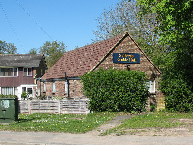
Image: © Stephen Craven Taken: 19 Apr 2011
The single-storey brick building is on Honeycrock Lane.
Images are licensed for reuse under creativecommons.org/licenses/by-sa/2.0
Image Location
Latitude
51.203825
Longitude
-0.163165