Manton Pit Wood
Introduction
The photograph on this page of Manton Pit Wood by Peter Turner as part of the Geograph project.
The Geograph project started in 2005 with the aim of publishing, organising and preserving representative images for every square kilometre of Great Britain, Ireland and the Isle of Man.

There are currently over 7.5m images from over 14,400 individuals and you can help contribute to the project by visiting https://www.geograph.org.uk
Manton Pit Wood
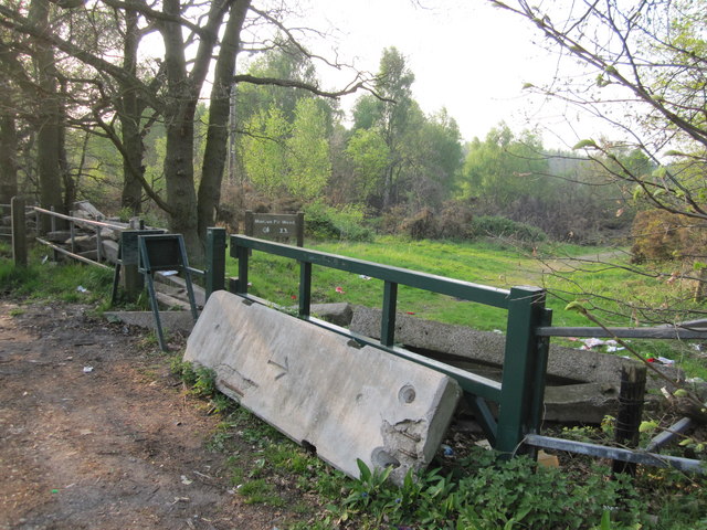
Image: © Peter Turner Taken: 20 Apr 2011
No vehicular access without heavy lifting gear. That's not quite a MoD arrow/benchmark on the concrete slab.
Images are licensed for reuse under creativecommons.org/licenses/by-sa/2.0
Image Location
Latitude
53.288996
Longitude
-1.076203