The junction of The Moorings and Shore Road, Annalong
Introduction
The photograph on this page of The junction of The Moorings and Shore Road, Annalong by Eric Jones as part of the Geograph project.
The Geograph project started in 2005 with the aim of publishing, organising and preserving representative images for every square kilometre of Great Britain, Ireland and the Isle of Man.

There are currently over 7.5m images from over 14,400 individuals and you can help contribute to the project by visiting https://www.geograph.org.uk
The junction of The Moorings and Shore Road, Annalong
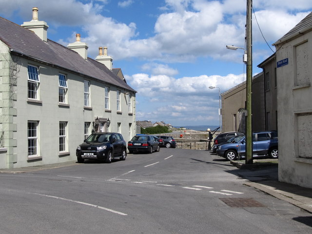
Image: © Eric Jones Taken: 23 Apr 2011
This short road leads down to Annalong Harbour and the restored Corn Mill.
Images are licensed for reuse under creativecommons.org/licenses/by-sa/2.0
Image Location
Latitude
54.107742
Longitude
-5.895675