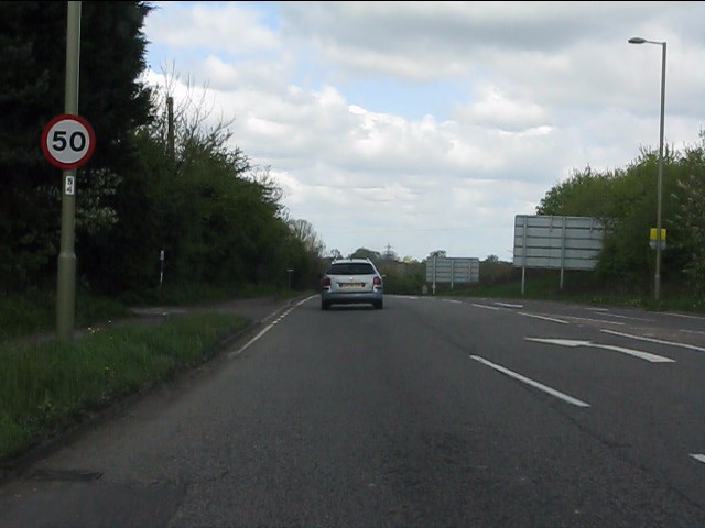
Single track north from Wolvercote
Introduction
The photograph on this page of Single track north from Wolvercote by Peter Whatley as part of the Geograph project.
The Geograph project started in 2005 with the aim of publishing, organising and preserving representative images for every square kilometre of Great Britain, Ireland and the Isle of Man.
There are currently over 7.5m images from over 14,400 individuals and you can help contribute to the project by visiting https://www.geograph.org.uk

Image: © Peter Whatley Taken: 12 Apr 2011
The A44 (prior to 1991, A34) drops down to a single lane each way between Wolvercote and Yarnton. For reasons best known to the UK's transport planners (sic), this section was never dualled, though that from Woodstock to Yarnton was improved long before the M40 came on the scene. The 50 limits which infest the route for most of its length to Stratford arrived concurrently with the M40 as part of a policy to get traffic onto the motorway.

