Valley bottom
Introduction
The photograph on this page of Valley bottom by Jonathan Wilkins as part of the Geograph project.
The Geograph project started in 2005 with the aim of publishing, organising and preserving representative images for every square kilometre of Great Britain, Ireland and the Isle of Man.

There are currently over 7.5m images from over 14,400 individuals and you can help contribute to the project by visiting https://www.geograph.org.uk
Valley bottom
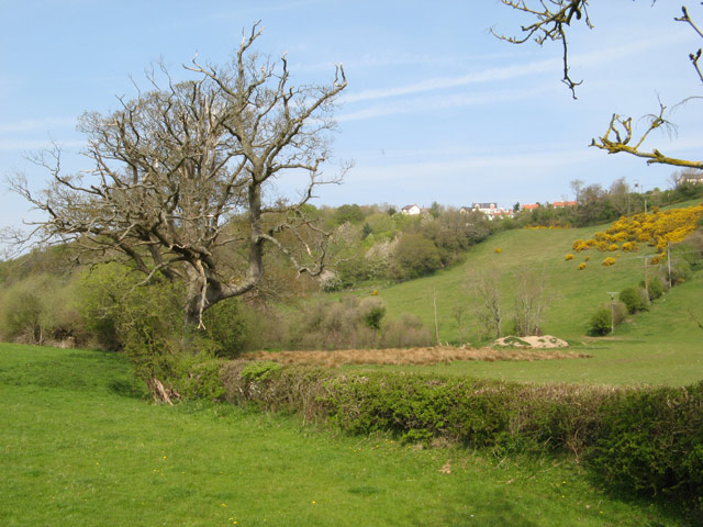
Image: © Jonathan Wilkins Taken: 20 Apr 2011
A large, dead oak tree dominates the hedge alongside the small stream. Further on, a pool has been dug in the damp, rushy ground of the valley floor. Pasture occupies all of the land on both sides of the valley.
Images are licensed for reuse under creativecommons.org/licenses/by-sa/2.0
Image Location
Latitude
53.275195
Longitude
-3.671172