Cut Mark: Manor Farm, Ince Lane, Elton
Introduction
The photograph on this page of Cut Mark: Manor Farm, Ince Lane, Elton by VBForever as part of the Geograph project.
The Geograph project started in 2005 with the aim of publishing, organising and preserving representative images for every square kilometre of Great Britain, Ireland and the Isle of Man.

There are currently over 7.5m images from over 14,400 individuals and you can help contribute to the project by visiting https://www.geograph.org.uk
Cut Mark: Manor Farm, Ince Lane, Elton
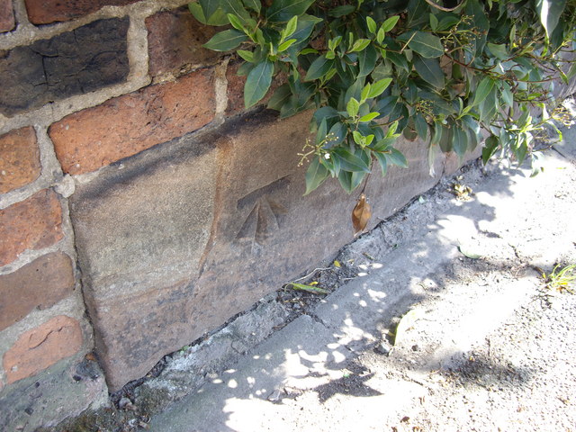
Image: © VBForever Taken: 24 Apr 2011
OS Cut Mark on the roadside wall outside Manor Farm, Ince Lane, Elton. Number B11344 on the Benchmark Database, see http://www.bench-marks.org.uk/bm37723
Images are licensed for reuse under creativecommons.org/licenses/by-sa/2.0
Image Location
Latitude
53.273137
Longitude
-2.813817