Footpath 15CR approaching service road
Introduction
The photograph on this page of Footpath 15CR approaching service road by Dave Spicer as part of the Geograph project.
The Geograph project started in 2005 with the aim of publishing, organising and preserving representative images for every square kilometre of Great Britain, Ireland and the Isle of Man.

There are currently over 7.5m images from over 14,400 individuals and you can help contribute to the project by visiting https://www.geograph.org.uk
Footpath 15CR approaching service road
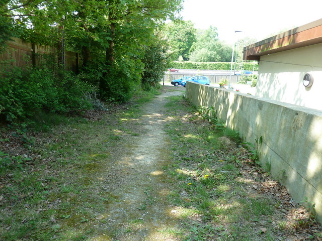
Image: © Dave Spicer Taken: 23 Apr 2011
On the far side of the wooden fence is the new A23 and this side is a fragment of the old A23. The concrete wall is the boundary wall for a Care Home.
Images are licensed for reuse under creativecommons.org/licenses/by-sa/2.0
Image Location
Latitude
51.015207
Longitude
-0.195578