Hatfield: Route of the former Hatfield & St Albans Railway
Introduction
The photograph on this page of Hatfield: Route of the former Hatfield & St Albans Railway by Nigel Cox as part of the Geograph project.
The Geograph project started in 2005 with the aim of publishing, organising and preserving representative images for every square kilometre of Great Britain, Ireland and the Isle of Man.

There are currently over 7.5m images from over 14,400 individuals and you can help contribute to the project by visiting https://www.geograph.org.uk
Hatfield: Route of the former Hatfield & St Albans Railway
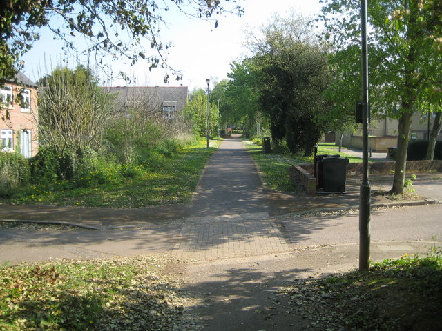
Image: © Nigel Cox Taken: 19 Apr 2011
The Hatfield & St Albans Railway opened their line through here, linking the two towns, in 1865. The railway was subsequently absorbed into the Great Northern Railway in 1883. Passenger services on the railway were an early casualty of the pre-Beeching era of British Railways, closing just 3 years into Nationalization in 1951. Freight traffic on the line lingered into the 1960s. Today the route of the railway forms the Alban Way, or the Smallford Trail, and a section of National Cycle Network Route 61.
Images are licensed for reuse under creativecommons.org/licenses/by-sa/2.0
Image Location
Latitude
51.756712
Longitude
-0.247313