Brewood Village
Introduction
The photograph on this page of Brewood Village by Jack Hill as part of the Geograph project.
The Geograph project started in 2005 with the aim of publishing, organising and preserving representative images for every square kilometre of Great Britain, Ireland and the Isle of Man.

There are currently over 7.5m images from over 14,400 individuals and you can help contribute to the project by visiting https://www.geograph.org.uk
Brewood Village
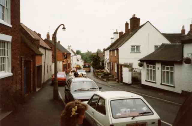
Image: © Jack Hill Taken: 10 Sep 1997
This is Dean Street, the bride and her father {with limo behind} are walking to the church, just to the left of photo.
Images are licensed for reuse under creativecommons.org/licenses/by-sa/2.0
Image Location


Leaflet Map data © OpenStreetMap
Latitude
52.674707
Longitude
-2.173438