Ellenbrook: Site of the former Ellenbrook Lane level crossing
Introduction
The photograph on this page of Ellenbrook: Site of the former Ellenbrook Lane level crossing by Nigel Cox as part of the Geograph project.
The Geograph project started in 2005 with the aim of publishing, organising and preserving representative images for every square kilometre of Great Britain, Ireland and the Isle of Man.

There are currently over 7.5m images from over 14,400 individuals and you can help contribute to the project by visiting https://www.geograph.org.uk
Ellenbrook: Site of the former Ellenbrook Lane level crossing
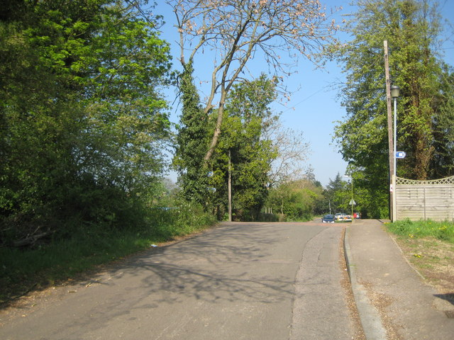
Image: © Nigel Cox Taken: 19 Apr 2011
This is the point at which the former Hatfield & St Albans Railway crossed Ellenbrook Lane. Nast Hyde Halt was to the left. The railway was in use until the 1960s.
Images are licensed for reuse under creativecommons.org/licenses/by-sa/2.0
Image Location
Latitude
51.756184
Longitude
-0.248058