Horns Road & Talbot Road
Introduction
The photograph on this page of Horns Road & Talbot Road by Oast House Archive as part of the Geograph project.
The Geograph project started in 2005 with the aim of publishing, organising and preserving representative images for every square kilometre of Great Britain, Ireland and the Isle of Man.

There are currently over 7.5m images from over 14,400 individuals and you can help contribute to the project by visiting https://www.geograph.org.uk
Horns Road & Talbot Road
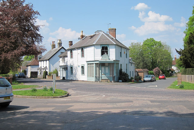
Image: © Oast House Archive Taken: 20 Apr 2011
A299 Horns Road to left and Talbot Road across. Also looking from Horns Road, however the road continues with The Moor to the right. Image seen centrally.
Images are licensed for reuse under creativecommons.org/licenses/by-sa/2.0
Image Location
Latitude
51.038128
Longitude
0.502708