Merley, Queen Anne Drive
Introduction
The photograph on this page of Merley, Queen Anne Drive by Mike Faherty as part of the Geograph project.
The Geograph project started in 2005 with the aim of publishing, organising and preserving representative images for every square kilometre of Great Britain, Ireland and the Isle of Man.

There are currently over 7.5m images from over 14,400 individuals and you can help contribute to the project by visiting https://www.geograph.org.uk
Merley, Queen Anne Drive
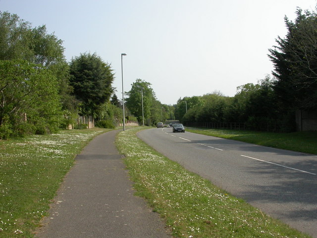
Image: © Mike Faherty Taken: 25 Apr 2011
A341, from Gravel Hill to Canford Magna, where its name changes to Magna Road; thence on to Bearwood.
Images are licensed for reuse under creativecommons.org/licenses/by-sa/2.0
Image Location
Latitude
50.779952
Longitude
-1.966333