The Carrickfergus to Larne road beyond Kilroot
Introduction
The photograph on this page of The Carrickfergus to Larne road beyond Kilroot by Albert Bridge as part of the Geograph project.
The Geograph project started in 2005 with the aim of publishing, organising and preserving representative images for every square kilometre of Great Britain, Ireland and the Isle of Man.

There are currently over 7.5m images from over 14,400 individuals and you can help contribute to the project by visiting https://www.geograph.org.uk
The Carrickfergus to Larne road beyond Kilroot
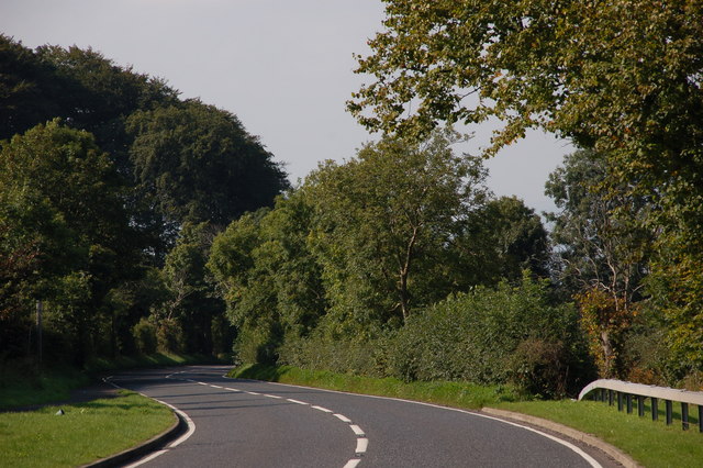
Image: © Albert Bridge Taken: 9 Sep 2006
The Carrickfergus-Larne road is a twisting road running inland before reaching the top of the cliff at the Bla Hole near Whitehead. This is the view towards Carrickfergus from the corner of the Rawbrae Road beyond Kilroot.
Images are licensed for reuse under creativecommons.org/licenses/by-sa/2.0
Image Location
Latitude
54.741397
Longitude
-5.741495