The Middle Road, Islandmagee
Introduction
The photograph on this page of The Middle Road, Islandmagee by Albert Bridge as part of the Geograph project.
The Geograph project started in 2005 with the aim of publishing, organising and preserving representative images for every square kilometre of Great Britain, Ireland and the Isle of Man.

There are currently over 7.5m images from over 14,400 individuals and you can help contribute to the project by visiting https://www.geograph.org.uk
The Middle Road, Islandmagee
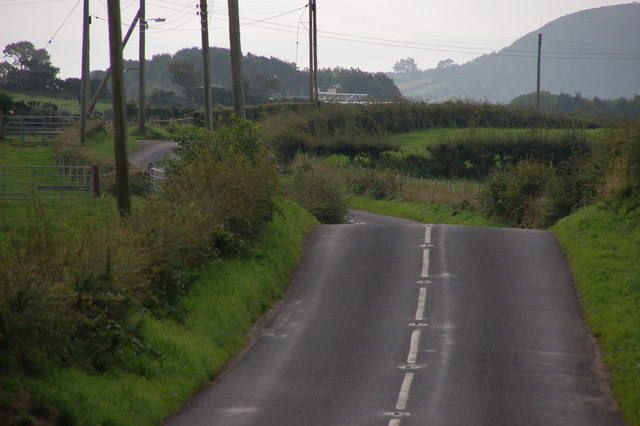
Image: © Albert Bridge Taken: 11 Sep 2006
The Middle Road runs through the middle of the Islandmagee peninsula. This is the road near Ballykeel looking towards Ballystrudder.
Images are licensed for reuse under creativecommons.org/licenses/by-sa/2.0
Image Location


Leaflet Map data © OpenStreetMap
Latitude
54.794669
Longitude
-5.707423