Downham Woodland Walk
Introduction
The photograph on this page of Downham Woodland Walk by Marathon as part of the Geograph project.
The Geograph project started in 2005 with the aim of publishing, organising and preserving representative images for every square kilometre of Great Britain, Ireland and the Isle of Man.

There are currently over 7.5m images from over 14,400 individuals and you can help contribute to the project by visiting https://www.geograph.org.uk
Downham Woodland Walk
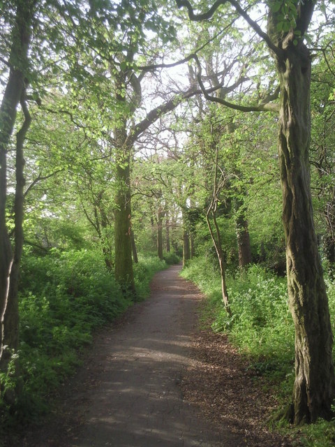
Image: © Marathon Taken: 11 Apr 2011
The Woodland Walk is a narrow strip of woodland, most of which is considered to be ancient in origin. When the Downham Estate was built by the LCC between 1924 and 1930, the existing woodland strip from Whitefoot Terrace to Bromley Road was retained to become the Woodland Walk, a pleasant green trail through the estate. For the time, this was quite an imaginative move. The Woodland Walk zigzags between the houses of Downham and is now followed by both the Green Chain Walk and the Capital Ring. This view is towards the Bromley Road end of the Walk.
Images are licensed for reuse under creativecommons.org/licenses/by-sa/2.0
Image Location
Latitude
51.426344
Longitude
-0.000627