Former village tap
Introduction
The photograph on this page of Former village tap by Michael Dibb as part of the Geograph project.
The Geograph project started in 2005 with the aim of publishing, organising and preserving representative images for every square kilometre of Great Britain, Ireland and the Isle of Man.

There are currently over 7.5m images from over 14,400 individuals and you can help contribute to the project by visiting https://www.geograph.org.uk
Former village tap
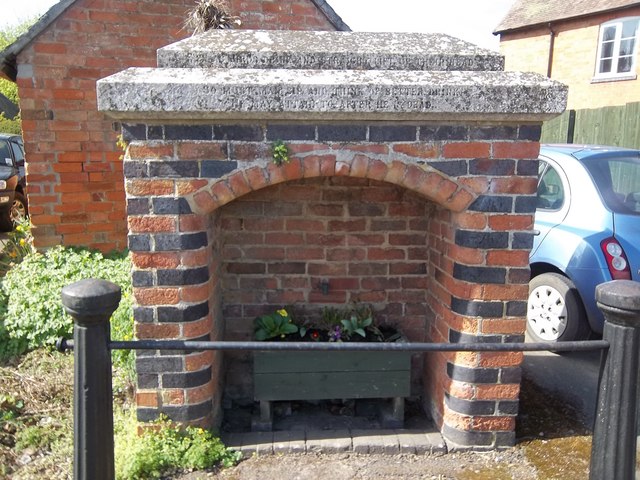
Image: © Michael Dibb Taken: 10 Apr 2011
The housing for the tap and the balustrade are listed Grade II. There were originally three sources of piped water. Another housing survives in High Street.
Images are licensed for reuse under creativecommons.org/licenses/by-sa/2.0
Image Location
Latitude
52.090344
Longitude
-1.770513