Promise of Spring at Cannon Hill
Introduction
The photograph on this page of Promise of Spring at Cannon Hill by Ben Brooksbank as part of the Geograph project.
The Geograph project started in 2005 with the aim of publishing, organising and preserving representative images for every square kilometre of Great Britain, Ireland and the Isle of Man.

There are currently over 7.5m images from over 14,400 individuals and you can help contribute to the project by visiting https://www.geograph.org.uk
Promise of Spring at Cannon Hill
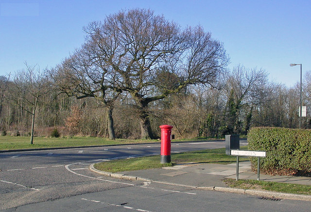
Image: © Ben Brooksbank Taken: 7 Mar 2010
View NW across Cannon Hill Lane at The Green. (Cannon Hill Lane forms the boundary here between London SW20 and Surrey (Morden).
Images are licensed for reuse under creativecommons.org/licenses/by-sa/2.0
Image Location
Latitude
51.399107
Longitude
-0.218751