Lane junction on the west side of Bolney
Introduction
The photograph on this page of Lane junction on the west side of Bolney by Dave Spicer as part of the Geograph project.
The Geograph project started in 2005 with the aim of publishing, organising and preserving representative images for every square kilometre of Great Britain, Ireland and the Isle of Man.

There are currently over 7.5m images from over 14,400 individuals and you can help contribute to the project by visiting https://www.geograph.org.uk
Lane junction on the west side of Bolney
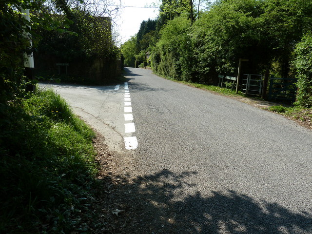
Image: © Dave Spicer Taken: 23 Apr 2011
The resurfaced road changes from Foxhole Lane to Cross Colwood Lane at this junction with Lodge Lane on the left.
Images are licensed for reuse under creativecommons.org/licenses/by-sa/2.0
Image Location
Latitude
50.996801
Longitude
-0.20926