Gate Field
Introduction
The photograph on this page of Gate Field by Simon Carey as part of the Geograph project.
The Geograph project started in 2005 with the aim of publishing, organising and preserving representative images for every square kilometre of Great Britain, Ireland and the Isle of Man.

There are currently over 7.5m images from over 14,400 individuals and you can help contribute to the project by visiting https://www.geograph.org.uk
Gate Field
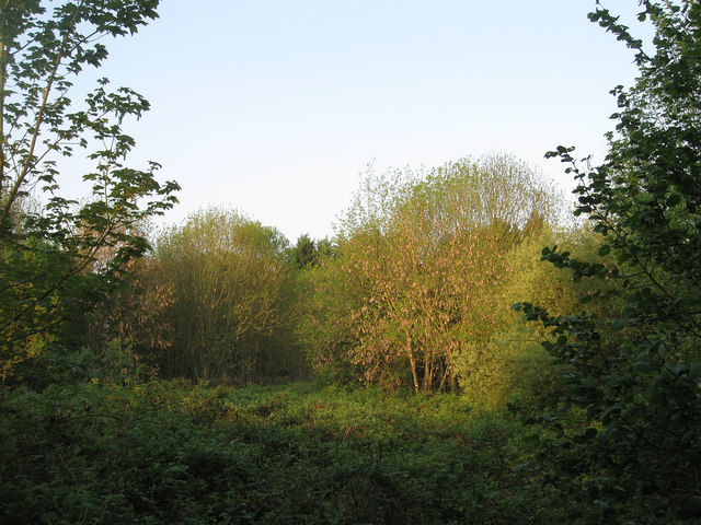
Image: © Simon Carey Taken: 24 Apr 2011
The name of the field according to Wivelsfield's 1843 tithe map. Once a much larger field that has now been split into four separate pieces; one containing Image, another the recently constructed Image, this piece of rough ground to the east, and a much smaller field to the south.
Images are licensed for reuse under creativecommons.org/licenses/by-sa/2.0
Image Location
Latitude
50.964081
Longitude
-0.069102