Bell Pit, Denholme Edge
Introduction
The photograph on this page of Bell Pit, Denholme Edge by Humphrey Bolton as part of the Geograph project.
The Geograph project started in 2005 with the aim of publishing, organising and preserving representative images for every square kilometre of Great Britain, Ireland and the Isle of Man.

There are currently over 7.5m images from over 14,400 individuals and you can help contribute to the project by visiting https://www.geograph.org.uk
Bell Pit, Denholme Edge
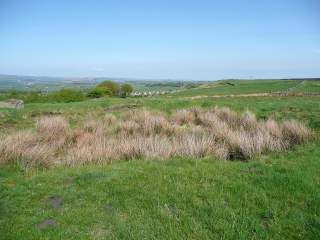
Image: © Humphrey Bolton Taken: 24 Apr 2011
These were often dug down to a shallow seam of coal. This one is fringed with rushes, which rather hide the pit. There is a better one further east.
Images are licensed for reuse under creativecommons.org/licenses/by-sa/2.0
Image Location
Latitude
53.804963
Longitude
-1.910376