Elstree
Introduction
The photograph on this page of Elstree by Martin Addison as part of the Geograph project.
The Geograph project started in 2005 with the aim of publishing, organising and preserving representative images for every square kilometre of Great Britain, Ireland and the Isle of Man.

There are currently over 7.5m images from over 14,400 individuals and you can help contribute to the project by visiting https://www.geograph.org.uk
Elstree
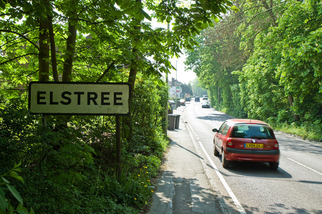
Image: © Martin Addison Taken: 21 Apr 2011
A roadsign tells motorists on the A5183, Elstree Hill North, where they are. Or it would if it wasn't for the vegetation - I had to step round a large shrub to get this photo, so the sign isn't visible to motorists from a great distance. It is quite a steep climb from here up through Elstree village to the junction with the A411 Barnet Lane / Watford Road.
Images are licensed for reuse under creativecommons.org/licenses/by-sa/2.0
Image Location


Leaflet Map data © OpenStreetMap
Latitude
51.648704
Longitude
-0.297217