Sharp Ford Bridge
Introduction
The photograph on this page of Sharp Ford Bridge by Matthew Hatton as part of the Geograph project.
The Geograph project started in 2005 with the aim of publishing, organising and preserving representative images for every square kilometre of Great Britain, Ireland and the Isle of Man.

There are currently over 7.5m images from over 14,400 individuals and you can help contribute to the project by visiting https://www.geograph.org.uk
Sharp Ford Bridge
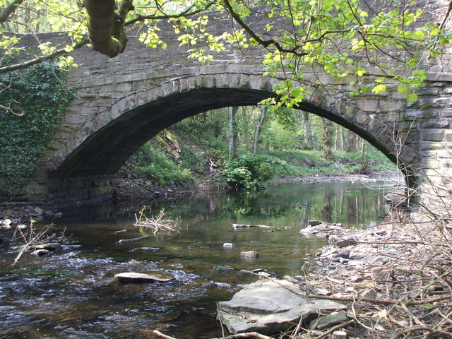
Image: © Matthew Hatton Taken: 23 Apr 2011
The River Don flows under this bridge as it has done since it was constructed circa 1800AD.
Images are licensed for reuse under creativecommons.org/licenses/by-sa/2.0
Image Location
Latitude
53.496344
Longitude
-1.560408