Bridleway leading to Parson's Lane
Introduction
The photograph on this page of Bridleway leading to Parson's Lane by Chris Heaton as part of the Geograph project.
The Geograph project started in 2005 with the aim of publishing, organising and preserving representative images for every square kilometre of Great Britain, Ireland and the Isle of Man.

There are currently over 7.5m images from over 14,400 individuals and you can help contribute to the project by visiting https://www.geograph.org.uk
Bridleway leading to Parson's Lane
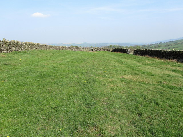
Image: © Chris Heaton Taken: 20 Apr 2011
This wide strip of grass is either very long narrow pasture or a very wide green lane. It runs from Bank Lane towards Addingham, becoming a proper track just beyond the wall called Parson's Lane.
Images are licensed for reuse under creativecommons.org/licenses/by-sa/2.0
Image Location
Latitude
53.942662
Longitude
-1.918461