Farmland west of Builth Wells, Powys
Introduction
The photograph on this page of Farmland west of Builth Wells, Powys by Roger D Kidd as part of the Geograph project.
The Geograph project started in 2005 with the aim of publishing, organising and preserving representative images for every square kilometre of Great Britain, Ireland and the Isle of Man.

There are currently over 7.5m images from over 14,400 individuals and you can help contribute to the project by visiting https://www.geograph.org.uk
Farmland west of Builth Wells, Powys
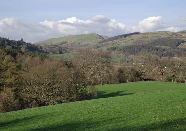
Image: © Roger D Kidd Taken: 2 Apr 2011
Looking across the valley of the Afon Irfon, which is concealed in the foreground grass field by the end of Rookery Wood on the left.
Images are licensed for reuse under creativecommons.org/licenses/by-sa/2.0
Image Location
Latitude
52.146563
Longitude
-3.427883