
Disused road near Shaw's Bridge, Belfast (1)
Introduction
The photograph on this page of Disused road near Shaw's Bridge, Belfast (1) by Albert Bridge as part of the Geograph project.
The Geograph project started in 2005 with the aim of publishing, organising and preserving representative images for every square kilometre of Great Britain, Ireland and the Isle of Man.

There are currently over 7.5m images from over 14,400 individuals and you can help contribute to the project by visiting https://www.geograph.org.uk
Disused road near Shaw's Bridge, Belfast (1)
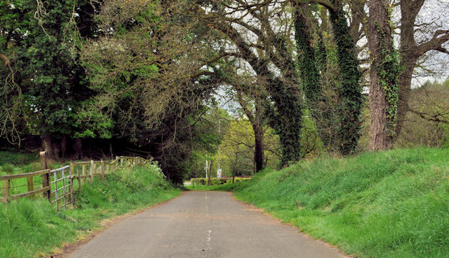
Image: © Albert Bridge Taken: 23 Apr 2011
An abandoned section of the Malone Road, now part of Clement Wilson Park. It seems to have opened around 1830 as part of the (then) road to Lisburn and Dublin Image The area is now bypassed by the new Shaw’s Bridge Image and the Milltown Road Image of 1977. Definitely part of Belfast in 2011, it used to be outside the city boundary Image, Image and Image which explains why I spent a long time in a fruitless search of old street directories. Image shows a similar view in autumn. Shown on the Google map as “Malone Road” but just as a path through the park on the OS 1:12,000 street map of Belfast. See also Image
Images are licensed for reuse under creativecommons.org/licenses/by-sa/2.0
Image Location

Latitude
54.55633
Longitude
-5.955339