Caterham: Church Hill
Introduction
The photograph on this page of Caterham: Church Hill by Dr Neil Clifton as part of the Geograph project.
The Geograph project started in 2005 with the aim of publishing, organising and preserving representative images for every square kilometre of Great Britain, Ireland and the Isle of Man.

There are currently over 7.5m images from over 14,400 individuals and you can help contribute to the project by visiting https://www.geograph.org.uk
Caterham: Church Hill
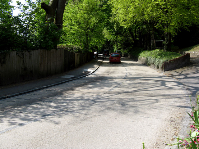
Image: © Dr Neil Clifton Taken: 21 Apr 2011
Looking up the hill, which is part of the B2030, and connects Caterham Valley with Caterham-on-the-Hill. It is used by bus routes, one of which sometimes uses double-deckers.
Images are licensed for reuse under creativecommons.org/licenses/by-sa/2.0
Image Location
Latitude
51.281615
Longitude
-0.079189